
Win Hill - Peak District Walk
Thursday 25th May 2006
It was surprisingly warm today and I certainly picked the right day to do this walk as the views were magnificent, if at times hazy. The walk starts with a very steep climb along a narrow path through a wood with very few views but once you are on the top all the effort is quickly forgotten. For most of the walk I had the Mam Tor ridge to my left, Derwent Edge to my right and the Kinder Plateau ahead of me, so there were constantly new views to admire, which means that there are more photos than normal today.
Start: Lay by on A6013 near to the Yorkshire Bridge pub (SK 201 853)
Route: Lay by Yorkshire Bridge - Win Hill (TP) - Hope Brink - Hope Cross - Ladybower Reservoir - Lay by Yorkshire Bridge
Distance: 7.75 miles Ascent: 495 metres Time Taken: 4 hrs 10 mins
Weather: Warm, blue sky with high cloud.
Pub Visited: None Ale Drunk: None

The river Derwent from Yorkshire Bridge.

The final climb to the summit of Win Hill looks easy after the steep climb through the woods below.

Win Hill's trig point.

Mam Tor ridge and Rushup Edge from the summit of Win Hill.

Ladybower Reservoir and Derwent Edge from the summit of Win Hill.

Looking back at Win Hill.

The village of Castleton with Winnats Pass (right) and Cave Dale (left) visible behind it.

From Hope Brink, Crook Hill with Derwent and Howden Edges behind.
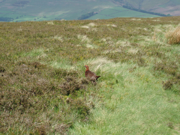
A local resident appeared just as I had my camera handy.

Grindsbrook Knoll is to the left with the top of Grindsbrook Clough, showing up as a white triangle, to its right.

Vale of Edale.

The Mam Tor ridge from the other side.

Jaggers Clough and the Kinder Plateau.

Hope Cross. Each side of the cross informs where you are heading towards, Glossop, Edale, Hope or Sheffield.

My route from Win Hill followed the ridge and then the line of the trees

Derwent Edge with several rocky outcrops clearly visible. Left to right: White Tor, Wheel Stones and Whinstone Lee Tor.

Crook Hill across Ladybower Reservoir.

Ladybower Reservoir.

Bamford Edge, across Ladybower Reservoir.
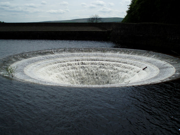
As I approached the dam wall I could hear what sounded like a waterfall, not a place to fall in!
All pictures copyright © Peak Walker 2006-2023